With yesterday’s hike up and over Mt. Carrigain, I’m more than halfway through the list of New Hampshire 4000 footers. Instead of doing the more common 10-mile out and back, we opted for the longer loop which took us down from the summit into the Pemi Wilderness in the area that early surveyors and loggers called Desolation.
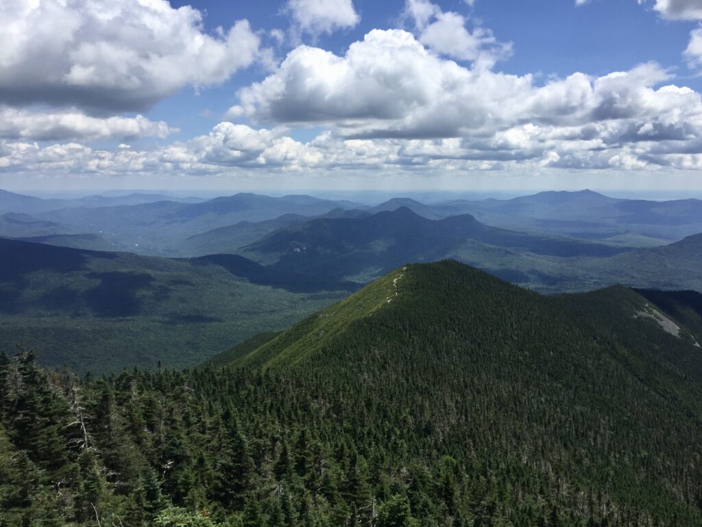
Another hot, clear summer day in the White Mountains, and another mountain to climb. I’ve enthused before about my love of ridgetop trails, and it was a delight to step out of the trees and into the wind atop Signal Ridge.
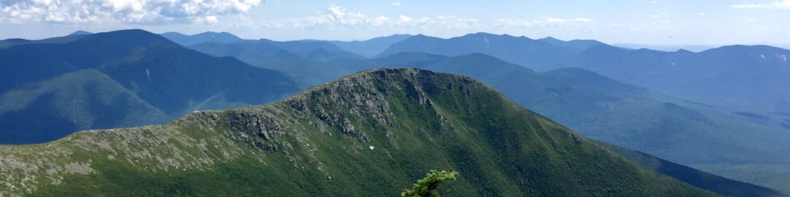
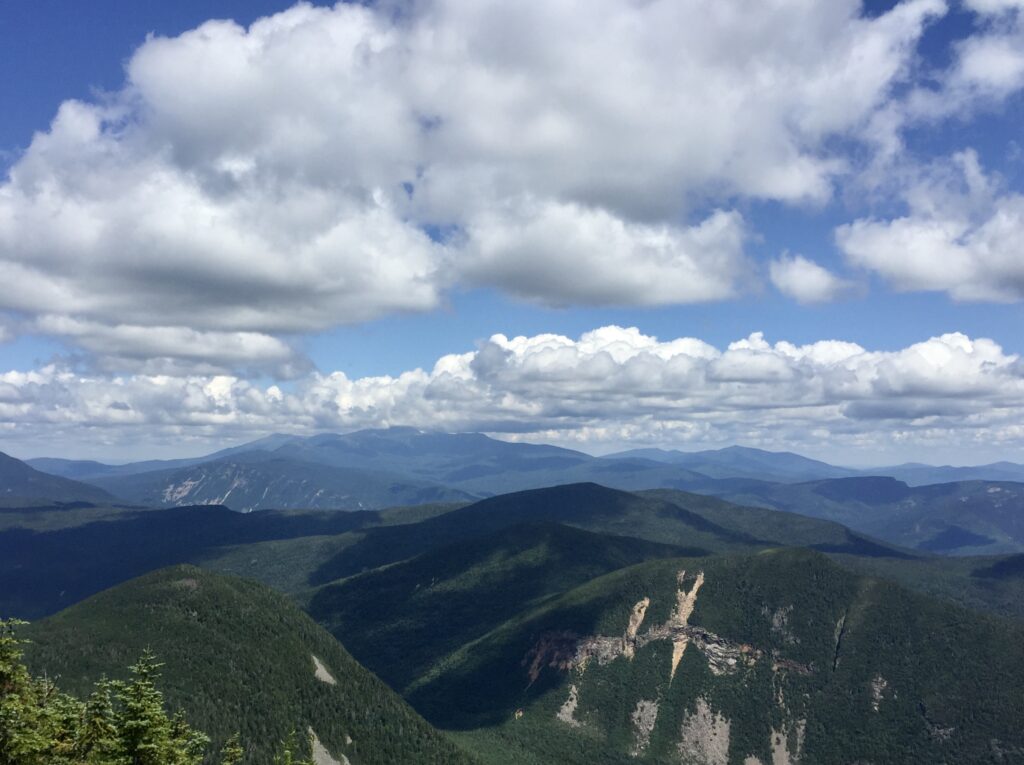
Please note the U-shaped valley down between Vose Spur and Mt. Lowell. That’s Carrigain Notch, and we’ll get to that later (approximately 4.5 miles later).
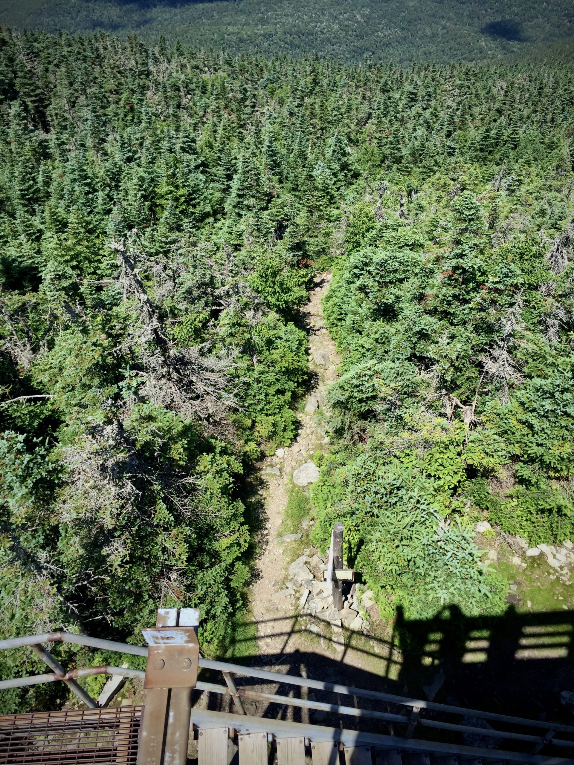
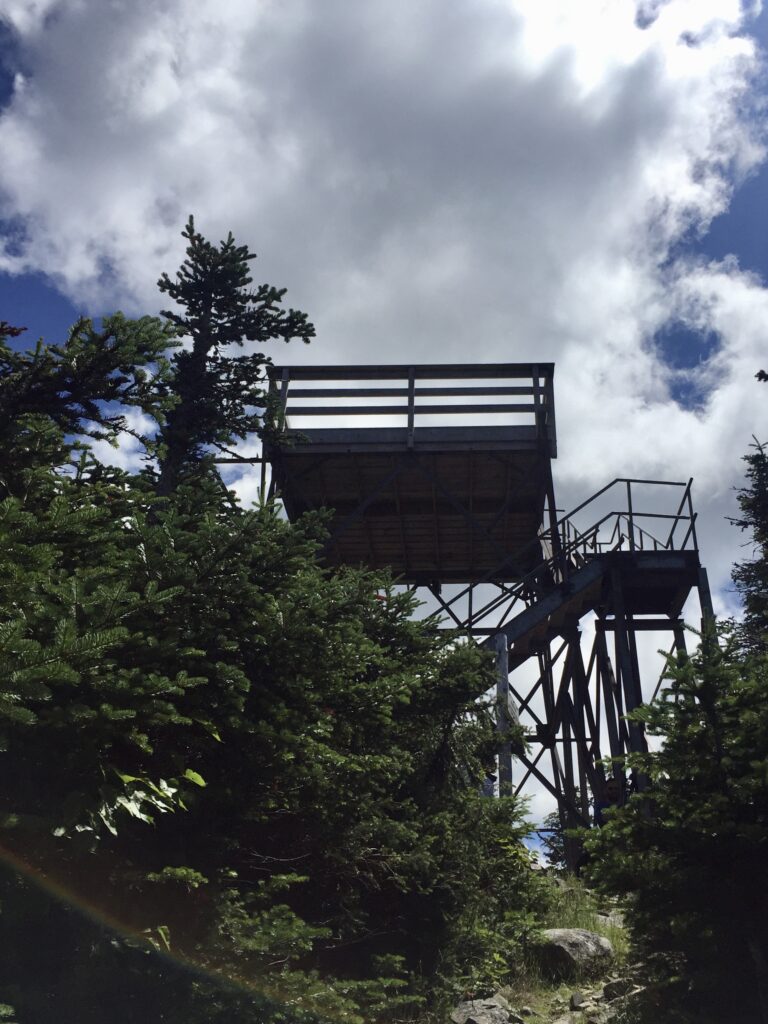
Although the actual summit of Mt. Carrigain is wooded, an observation tower (descended from a series of US Forest Service fire lookout towers) gives spectacular views in all directions out across the Pemi wilderness, Presidential Range-Dry River wilderness, Sandwich Wilderness, and all the National Forest in between.
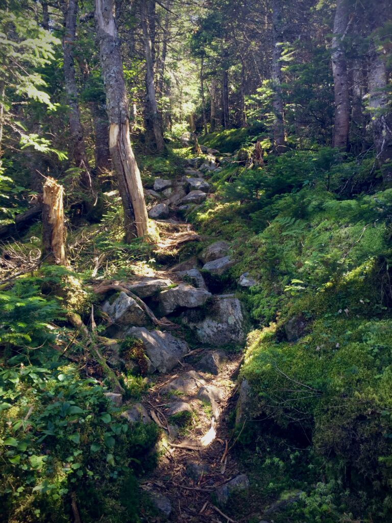
The summit is right on the boundary of the wilderness area, so from there we plunged down the somewhat ominously named Desolation Trail into the wilderness. Whether due to its name, its mileage, its fearsome description in the guide book, or its inclusion on the Terrifying 25, the Desolation trail gets little enough traffic that moss grows richly even in the foot bed.
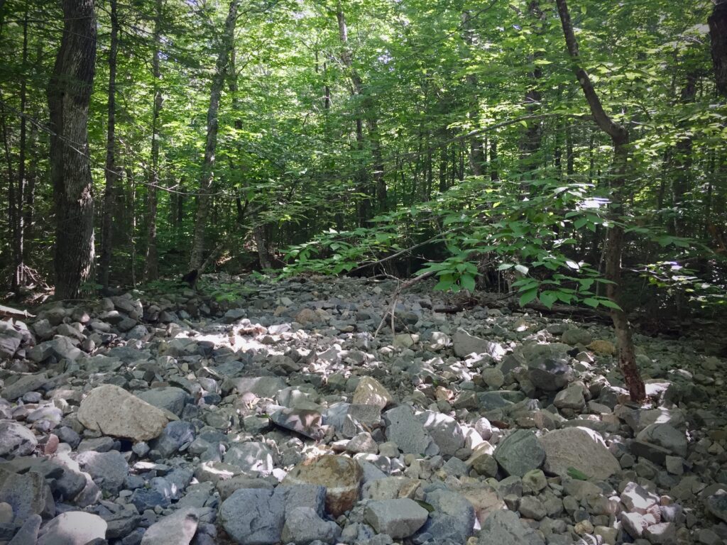
Once Desolation Trail reaches the valley floor, it meets up with Carrigain Notch Trail which climbs over the height of land between Vose Spur and Mt. Lowell. On the South side of the notch, the trail flirts with Carrigain Brook until it meets up with Signal Ridge Trail. This summer has been dry, and all we saw of the brook was a broad bed of smooth, clean blue stones meandering through the woods like a zen garden. The brook is wide enough to make gaps in the forest canopy, so even when the trail diverged from the stream bed we could catch glimpses through the trees of the sunlit blue rocks.