I took this week as vacation, and even though I didn’t travel far I got off the grid for a few days of backpacking along the Appalachian Trail. My plan was to go solo, but as it turned out I had plenty of company: a multitude of mosquitos and black flies joined me for every step. Nonetheless it was a great trip— the terrain is beautiful, it was quiet, the weather was good enough, and I feel so accomplished for having done it!
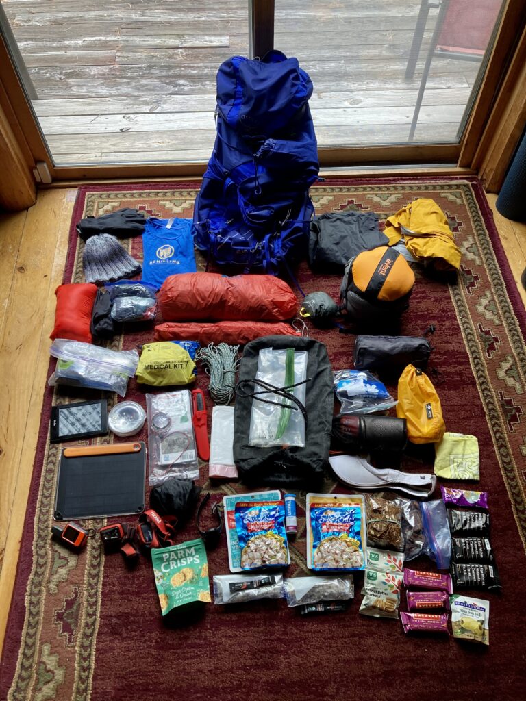
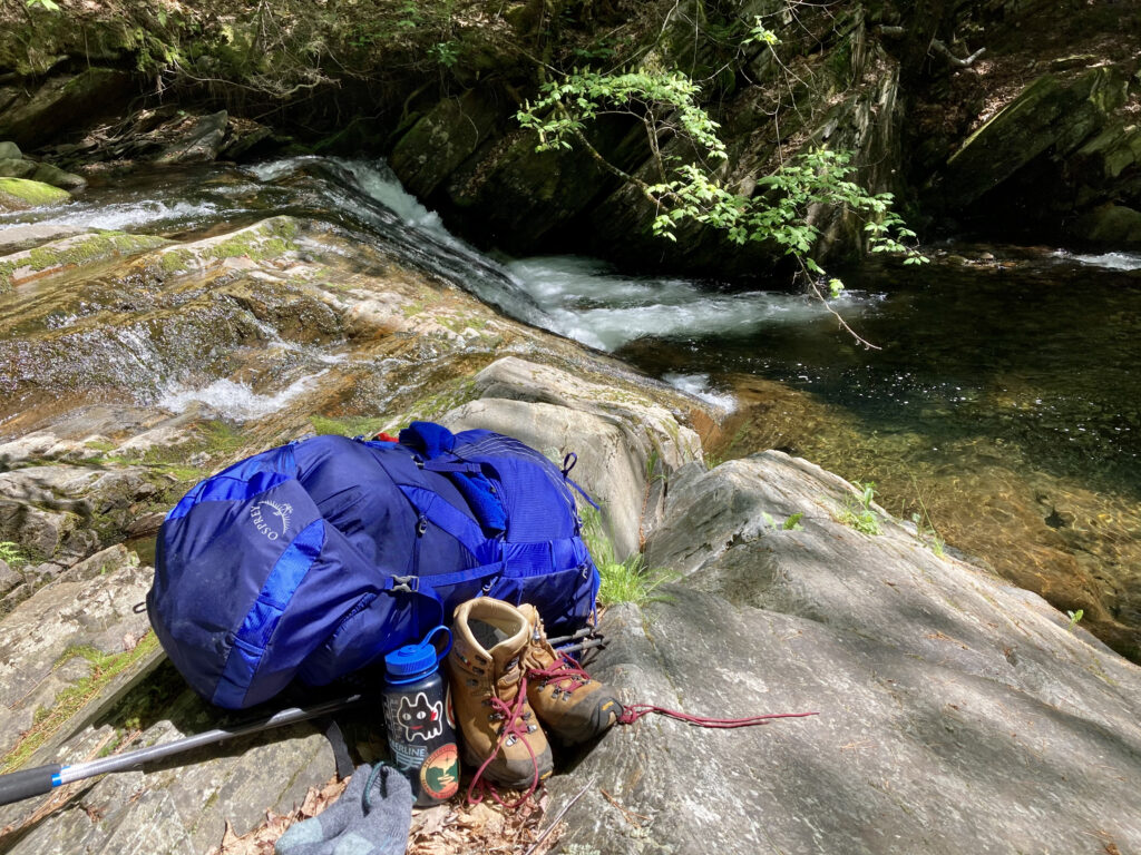
I had to start with the pack photo— this is all the stuff I took with me, excluding only a camelback and a nalgene for water. Fully loaded and including water, my pack is a bit more than 20% of my body weight, and I definitely feel the difference in my feet and legs. I’m also noticeably less nimble, which I feel very much in steep or rocky terrain, which describes most of this hike.
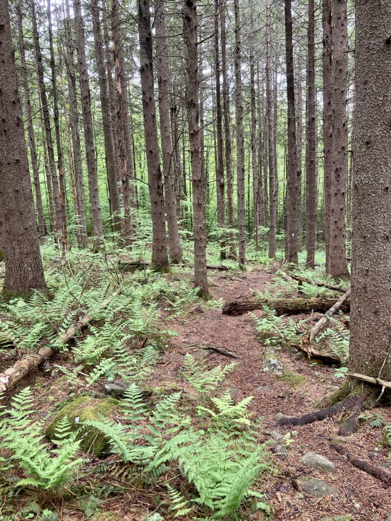
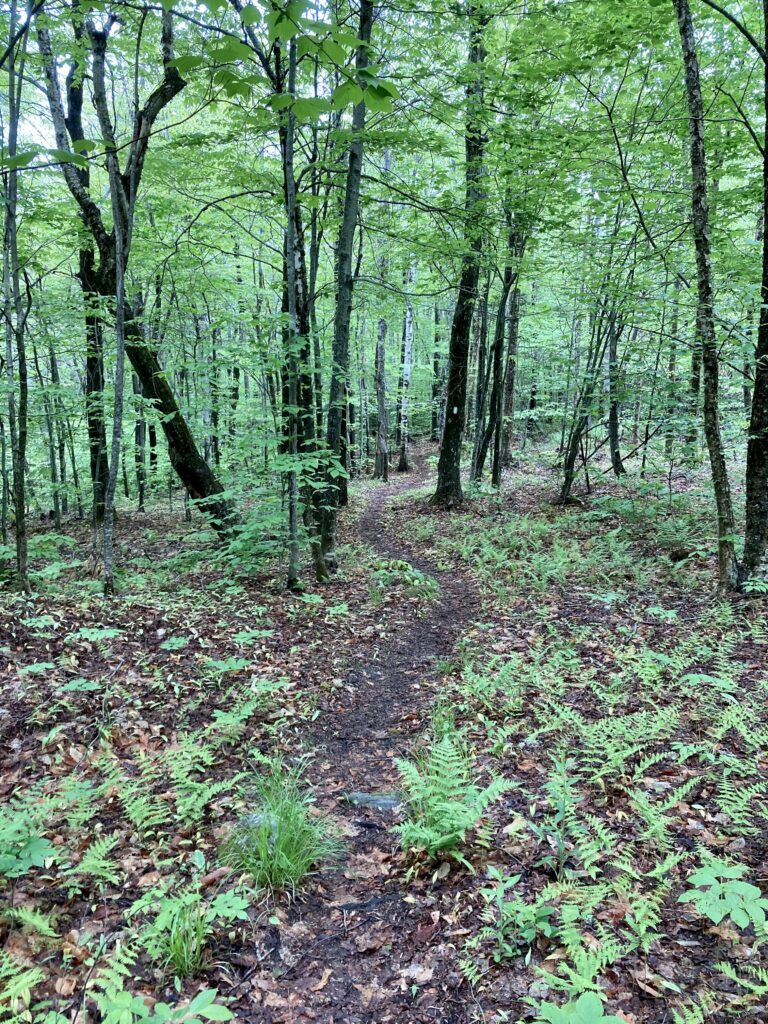
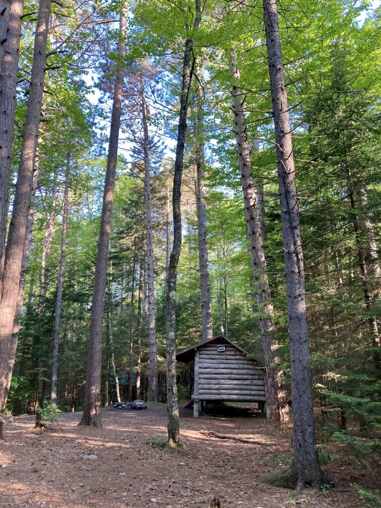
Day 1 started low, under 1000 feet, and took me through quiet forests, past the nicest outhouse I’ve ever seen (thanks to the Dartmouth Outing Club), and ended at the Jeffer’s Brook Shelter (5/5– would camp there again!) It had rained hard overnight, and everything was wet and slippery, which required some careful footing over mossy rocks, exposed roots, or bog bridges. I covered 12.7 miles with the highest point of the day atop Webster Slide Mountain (at 2184 feet).
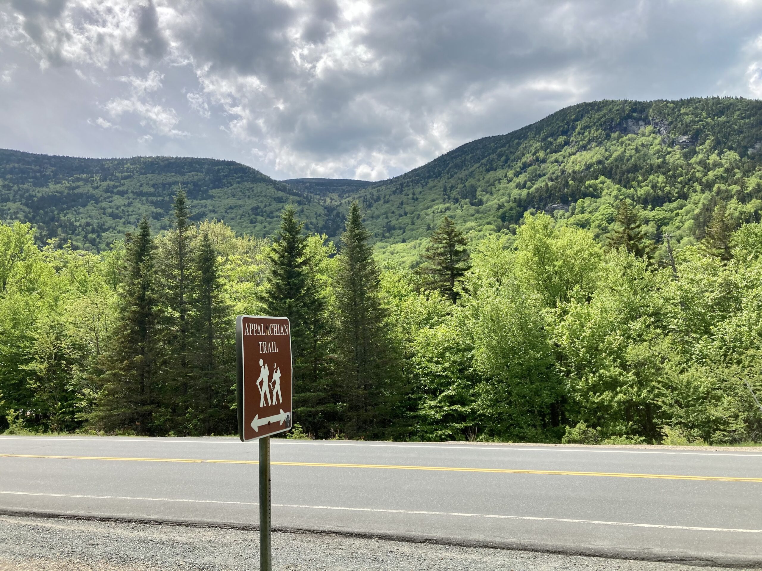
Does this look like an interstate highway to you? 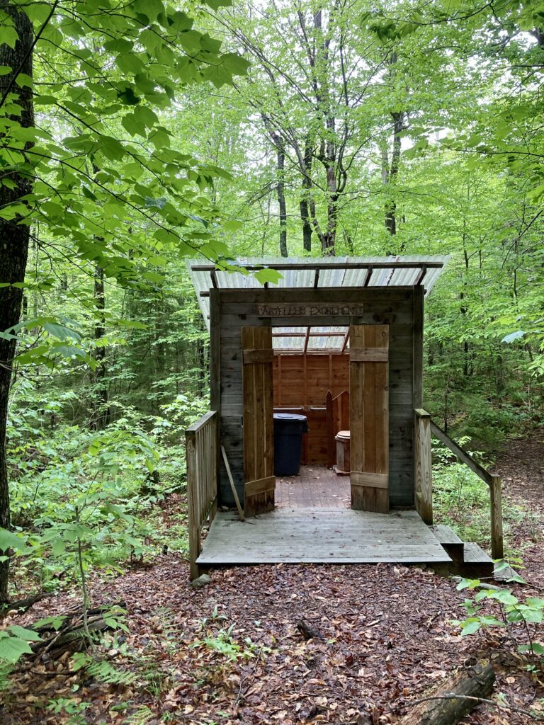
Outhouse of my dreams at Ore Hill Tent site, courtesy of DOC 
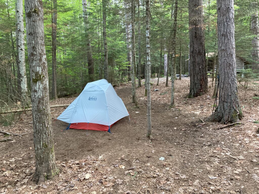
This was my first time staying at an AT shelter, but I still chose to pitch my tent. I like the privacy of my own walls. Privacy from other humans was not an issue— it’s early in the season for northbound through hikers and on a weekday night I had the place to myself. The biggest benefit of my tent was the bug screen that gave me privacy from the bloodthirsty insects who were out in force.
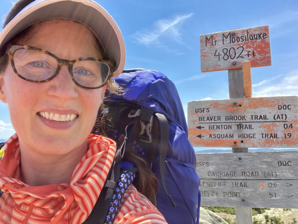
Obligatory Hiker selfie 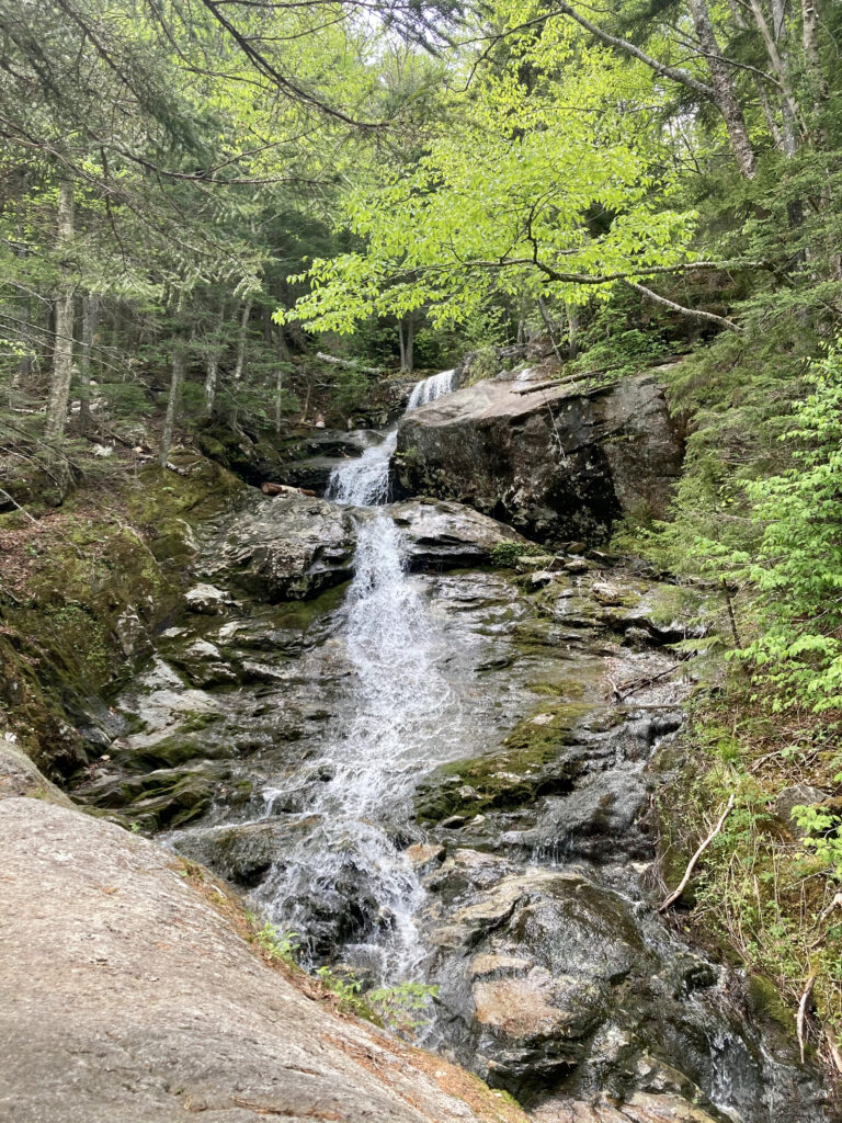
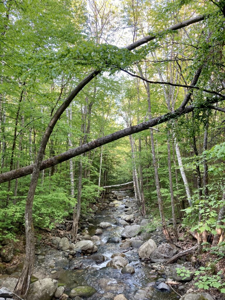
Beaver brook. The trail is just as steep 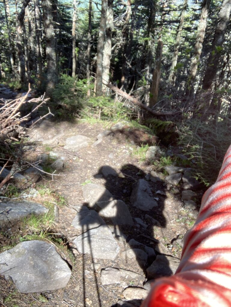
Alternate obligatory hiker selfie
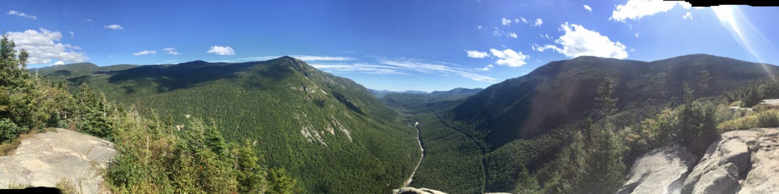
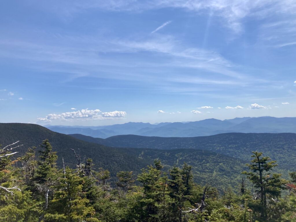
The Jeffer’s Brook Shelter is at 1350 feet, and that’s where I started day 2 which took me up and over my high point of the trip: the summit of Mt. Moosilauke at 4802 feet. I had a beautiful day with clear skies with spectacular views from South Peak up to the Moosilauke summit and then out toward Franconia ridge. My day didn’t end on the summit though— first came the descent down to 1870 to Kinsman notch.
Beaver Brook is beautiful, and the Beaver Brook trail follows the cascades steeply down the mountain. My legs were shaking by the time I reached the bottom. Fortunately it was a bit drier than the previous day, because this was a trail where I did not want to slip! I also spent some time hoping that nobody else slips here either, because it would be a very difficult trail for my search and rescue team to aid an injured hiker
The base of Beaver Brook trail is at road level in Kinsman Notch. From there I headed up again to reach the top of Kinsman Ridge around 3000 feet. I paused part way up to check the weather forecast on my inReach satellite receiver— I could see clouds assembling over the ridge top and heard what I thought might be thunder. The last thing I wanted was to find myself on the ridge top overnight in a thunderstorm, so depending on the forecast I was fully prepared bail and call for a pickup on the road. But the forecast was clear, so I kept heading onward and upward!
I was tired once I reached the top of the ridge, but still had a few miles to go. I was most grateful to turn down toward Gordon Pond for a backcountry campsite. I didn’t have it in me to keep going the extra 4 miles to the next AT shelter, but I’m equipped and comfortable with backcountry camping, and I found a nice flat, dry spot near a stream.
This was my shortest day in miles (11.4), but biggest in elevation gain (4580 feet.)
In the time it took me to filter water, cook and eat dinner, and crawl into my tent, an enterprising spider built a web between the rain fly and bug screen. It ate very well that night— I counted half a dozen black flies in its web that night and several more by the time I evicted it when I packed up in the morning.
Partial (almost) view near Mt. Wolf 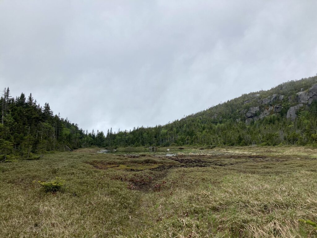
Harrington Pond and my best view of N. Kinsman 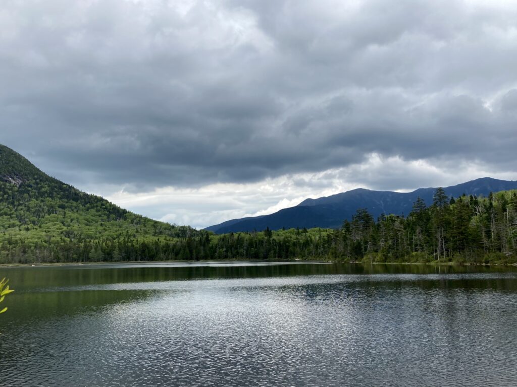
The view across Lonesome Lake to Franconia ridge is one of my favorites in the White Mountains
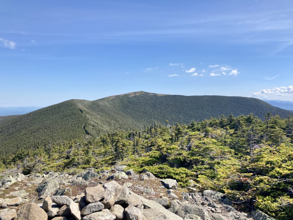
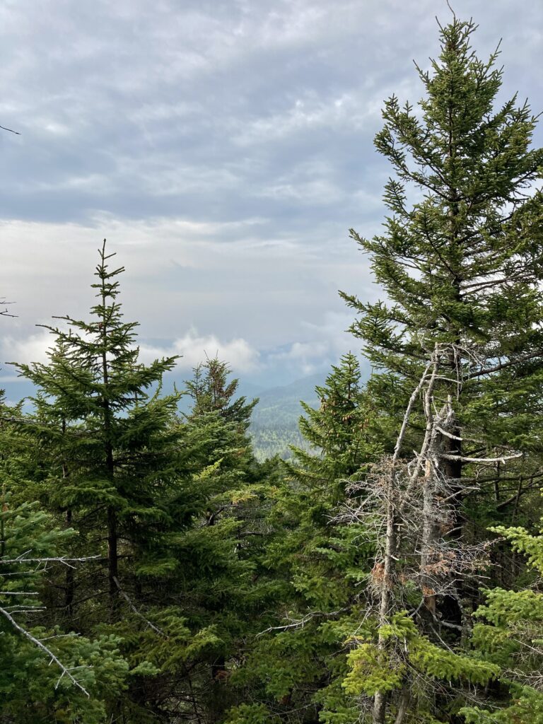
Day 3 traversed Kinsman ridge over Mt. Wolf, over North and South Kinsmans before dropping off the ridge trail to Lonesome Lake and then down to the Pemi River valley. Around Gordon Pond, where I camped, and along Kinsman Ridge Trail I saw plentiful moose tracks but no actual moose. I didn’t see much else apart from a glimmering of sunshine in the valley below as the thick valley mist cleared momentarily from a viewpoint near Mt. Wolf. I hiked the rest of the day in broken overcast that clung to the ridge top.
The ridge trail wanders up and down, dipping into the Eliza Brook drainage. I took a break at the Eliza Brook Shelter— lovely, recently renovated by the AMC. I was most grateful for the outhouse there, even if it doesn’t match the Ore Hill outhouse for style and whimsy. Up from Eliza Brook (2500ish ft) to my high point of the day: South Kinsman at 4358 feet. Both summits were in the clouds with a stiff breeze, so I didn’t linger. The AT turns off the ridge trail shortly below North Kinsman summit and heads down from the ridge line to Lonesome Lake. Though I’d hiked it before, I underestimated both the steepness and length of that portion of trail, so I was glad to rest my feet on the porch of the Lonesome Lake Hut and refill from the potable water tap rather than getting out my filter.
Cascade Brook trail takes the AT down to the Pemi river valley (1400 ft) along gloriously smooth and moderate grades. Day 3 was my longest in miles (13.5) and elevation loss (nearly 3000 ft).
The post-hike shower was glorious!