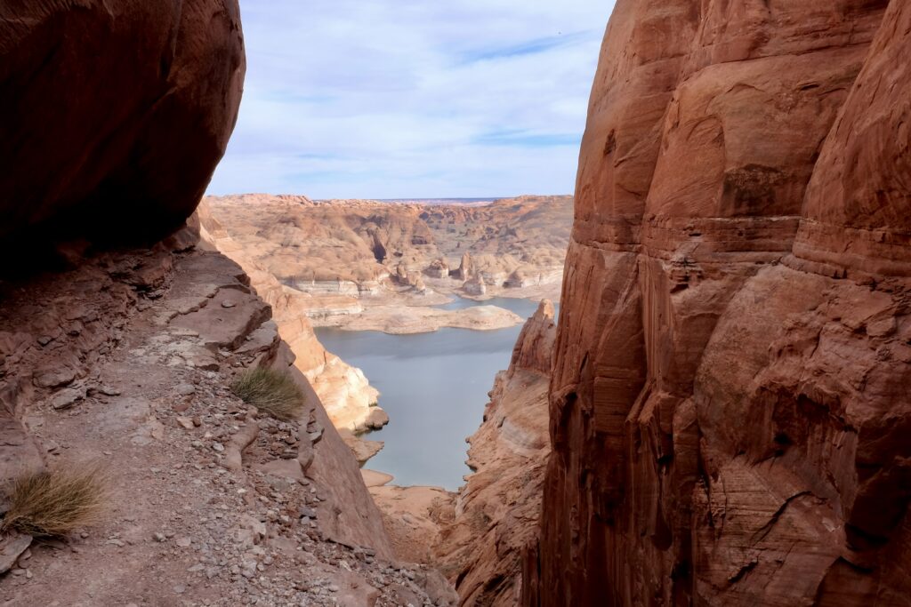
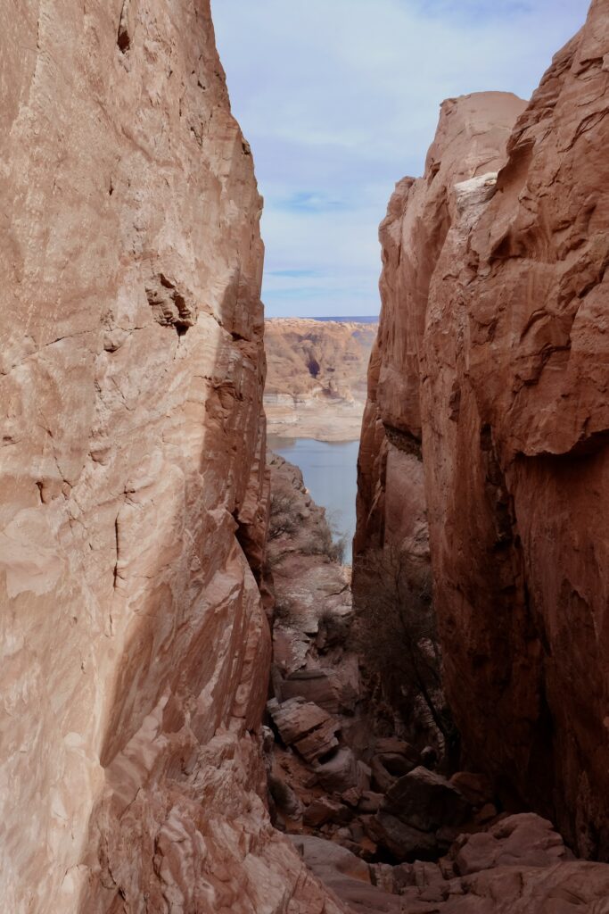
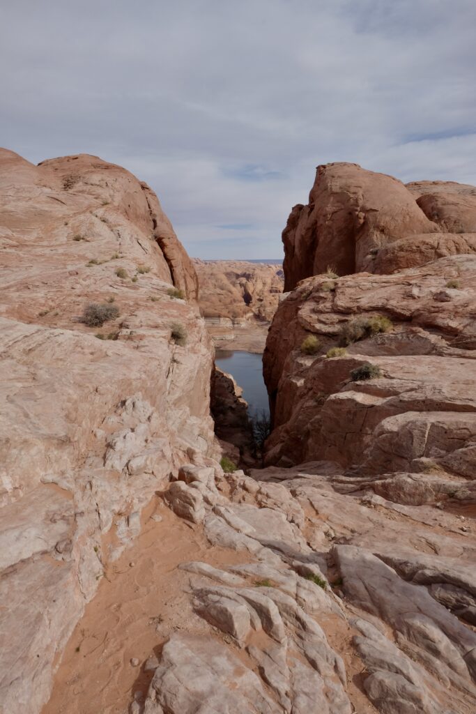
Hypothetically, what if your plans for an epic adventure into a side canyon off Lake Powell to see a geological wonder recently re-exposed after decades underwater were derailed by uncooperative weather? Fortunately, there are a few other geological, historical, and archaeological wonders in the neighborhood!
First stop: the hole in the rock
In 1880, seventy Mormon families set off from Escalante to settle in Bluff, Utah and establish a mission on the San Juan river. A straight line from Escalante to Bluff is about 125 miles crossing some of the most beautiful and rugged terrain in southern Utah. Any line connecting those points has to cross the Colorado river. It took an amazing effort of perseverance and pioneer civil engineering for the settlers to make it to their destination– in the end their route was 260 miles. They had to cross the Colorado river, which meant they had to reach the Colorado river nearly 2000 feet below the plateau. The settlers found a natural weakness in the cliffs and then spent 6 weeks blasting into the rock to widen it to a 45 degree slope and a barely passable wagon width.
This is the “road” that 250 people, 83 wagons, and nearly 1000 heads of livestock took down to the river crossing.
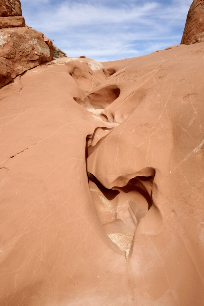
Just up the road from the hole in the rock is another rock with a hole in it– this one created through the slow violence of natural erosion rather than the abrupt violence of blasting powder. Dance hall rock is also part of the Mormon settlers’ story– by day they blasted their way down to the river, and by night they played music and danced in this natural amphitheater, giving it its name.
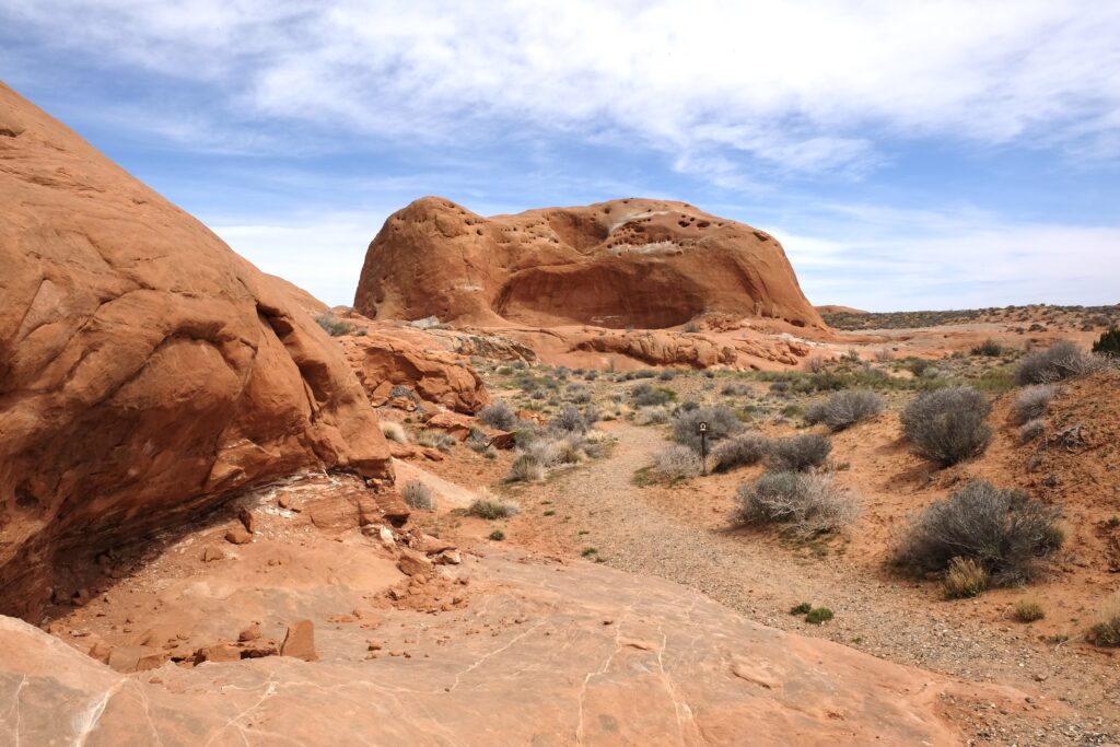
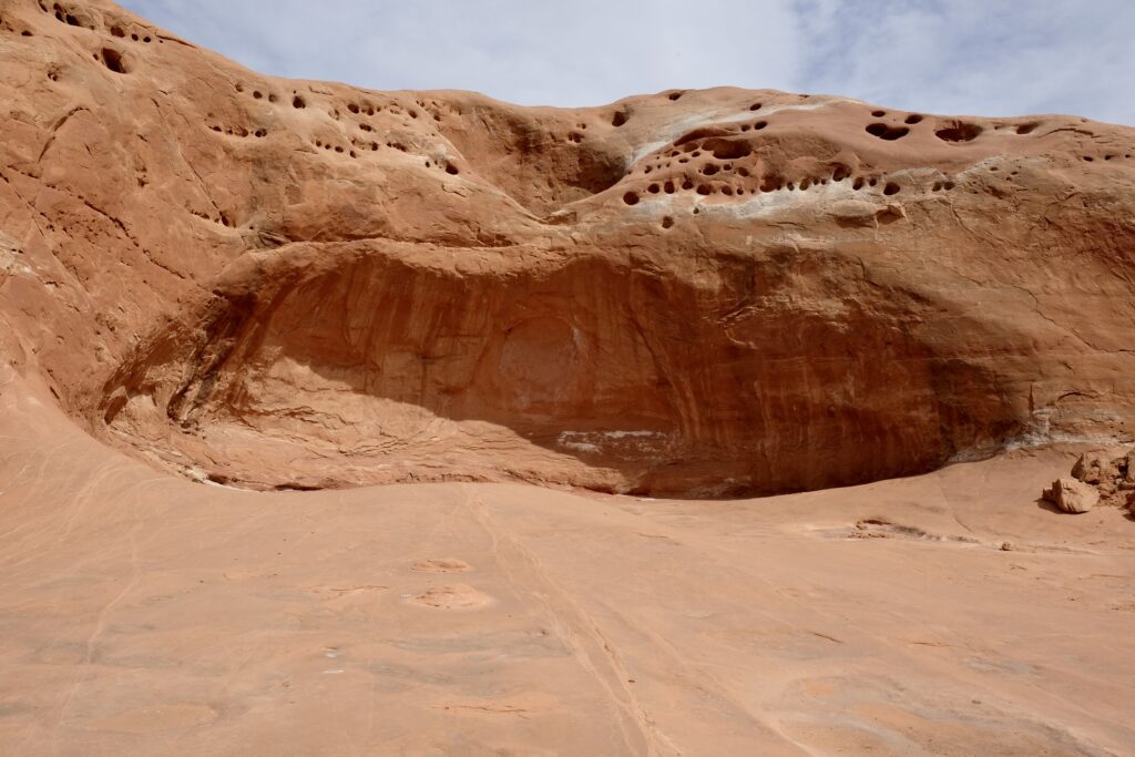
I don’t know if it makes me a poor humanist or a good naturalist, but I can’t help but be more amazed and inspired by the strange and elegant shapes carved into the sandstone by water running off Dance Hall Rock than I am by the straight line carved by human persistence and effort on the hole in the rock road wagon road.
Next stop: Capitol Reef National Park
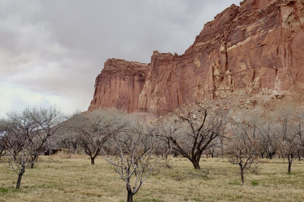
We came into the park from the west, on the only paved road through the park where it follows the Fremont river. The orchards of Fruita, planted by early settlers, outlasted the human inhabitants of this fertile valley backed by formidable sandstone cliffs.
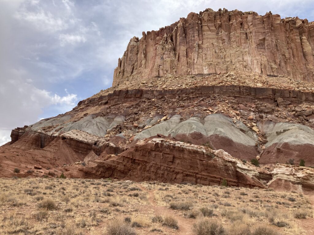
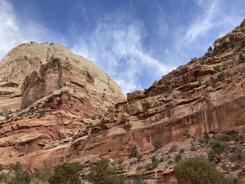
The park straddles Waterpocket Fold, a monocline created 50-70 million years ago when the western edge of a fault lifted the land 7000 feet above the eastern edge. As the monocline erodes, our planet’s history is exposed and weathered into intriguing shapes.
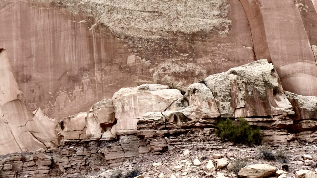
American settlers were not the first people to call the Fremont river valley home and leave traces of their lives in the landscape.